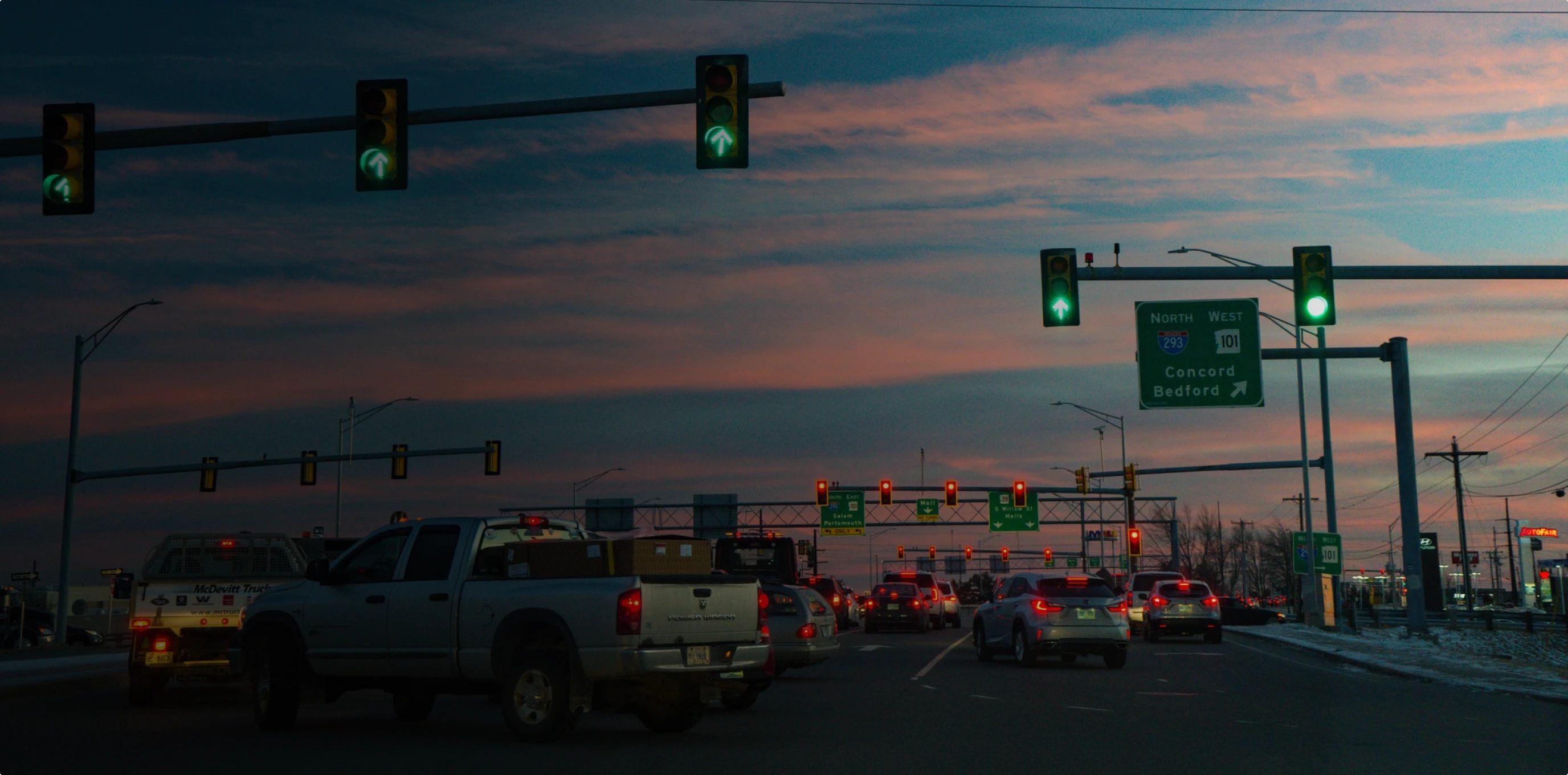
Interstate 80 connecting Solano and Yolo counties is the busiest regional gateway based on traffic volumes
The Central Valley accounts for 46 percent of all interregional traffic
The Sacramento area accounts for 38 percent of all interregional traffic entering and exiting the Bay Area
Introduction
How do commuters from outside the Bay Area affect traffic here?
The Bay Area is one of the largest and most vibrant metropolitan areas in the nation, with almost 700,000 vehicles entering and exiting the region every day. In addition to commuters heading to job centers in the Tri-Valley, Silicon Valley and San Francisco areas, regional gateways serve delivery trucks, buses and recreational travelers. Over half of these travelers use just two regional gateways: Interstate 80 connecting Solano County and Yolo County, and Interstates 580 and 205 connecting Alameda County and San Joaquin County.
Regional Performance
The region’s strong economy and high housing costs have contributed to a spike in traffic from neighboring counties.
The Great Recession had a profound effect on interregional traffic volumes, halting two decades of steady growth. Up until 2006, the Bay Area witnessed significant growth in traffic entering from neighboring counties, contributing to regional congestion challenges. The recession reversed this trend from 2006 through 2012, but the resurgent Bay Area economy has since powered growth in traffic for five years in a row, pushing gateway volumes past their pre-Recession peak in 2006 and to new highs in 2017.
Interregional traffic volumes have remained constant or steadily grown over time at four of the top five regional gateways. The one exception to this trend is Interstate 205/Interstate 580, which connects San Joaquin County to Alameda County. Traffic volumes on this corridor continue to vary based on the megaregional housing and jobs markets. Interregional volumes increased dramatically in the early 2000s alongside the real estate boom in San Joaquin County, then dipped sharply during the economic downturn that started in 2008.
Traffic volumes at regional gateways have climbed by more than 50 percent since 1992
was the highest year on record for traffic volumes at regional gateways, exceeding the previous 2006 peak
vehicles entered or exited the region on a typical day in 2017
Historical Trend for Traffic Volumes at Regional Gateways
Sources & Methodology
Traffic counts reflect average annual daily traffic (AADT) counts at all state highway gateway points - entry/exit points to the nine-county San Francisco Bay Area. When the county line data was not available in the traffic volume reports, the closest intersection or interchange was used as a proxy for traffic volumes at the county line.