Fine particulate levels can be three times higher than normal on the worst days of the year
of Bay Area air quality monitoring sites reported concentrations below the federal standard in 2016
Introduction
How clean is the Bay Area's air?
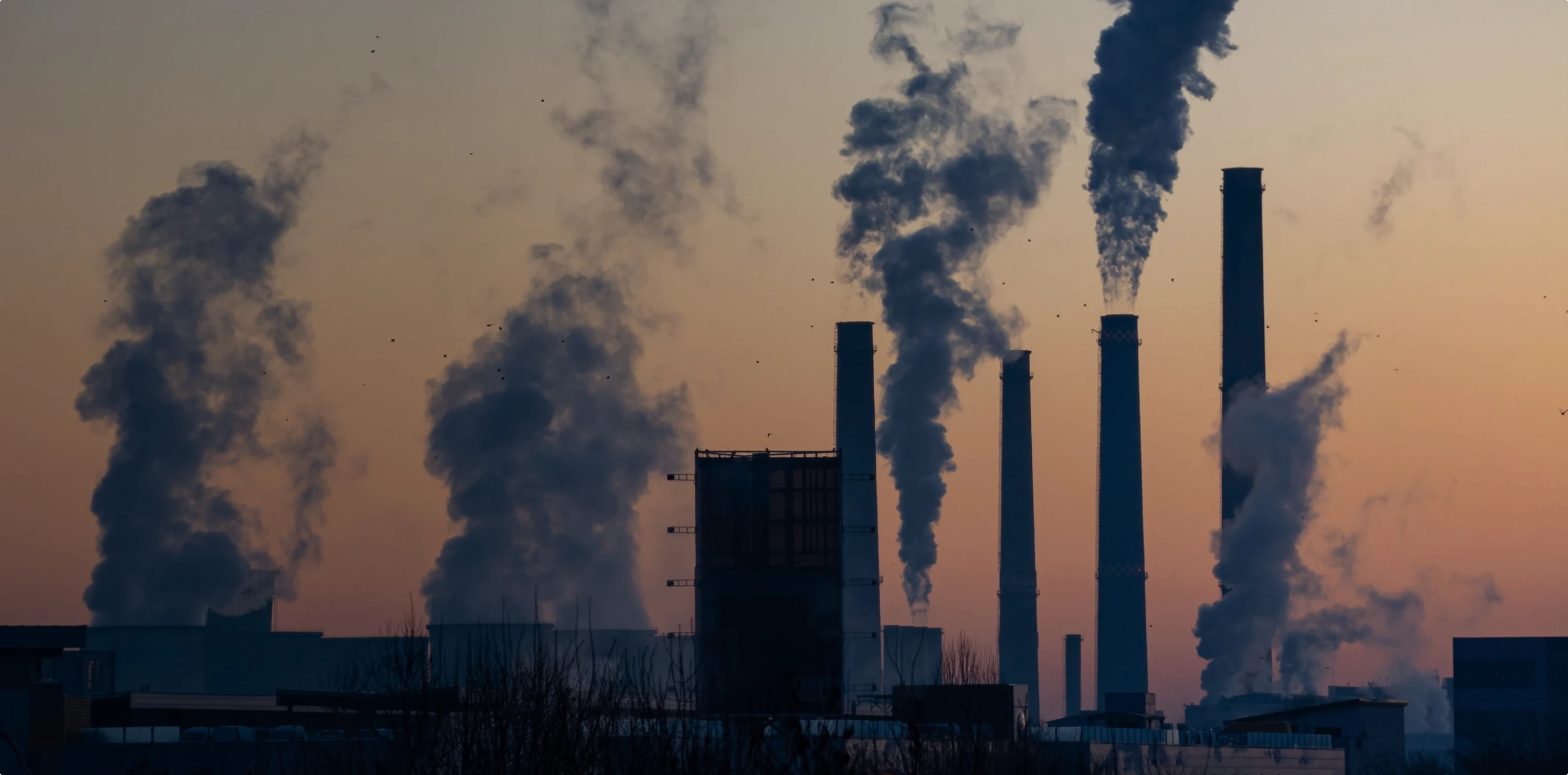
Particulate matter poses a significant health threat and environmental issue to Bay Area residents. While these tiny particulates may seem innocuous, their minuscule size allows them to reach deep into the lungs and bloodstream, where they can trigger serious (or even fatal) conditions like asthma, strokes and heart attacks. Fine particulates are emitted by a wide range of activities and sources, including residential wood burning, industrial sources, wildfires and motor vehicles. Particulate matter levels are often elevated in close proximity to freeways and high-volume roadways.
Regional Performance
Particulate matter concentrations declined in 2016 - benefiting from both long-term reductions in emissions and short-term wet weather conditions.
Over the past 15 years, regional 3-year annual average particulate matter concentrations have fallen from 12.3 micrograms (mg) per cubic meter to just 7.8 micrograms per cubic meter - a remarkable improvement in a relatively short time. Peak particulate matter levels also declined significantly over this time period, as indicated by the peak 24-hour average trend. The most recent downward tick in particulate matter levels has been attributable to emission reduction programs as well as favorable weather conditions. An extended period of light winds and no rain contributed to higher levels of particulate matter accumulating in the Bay Area air basin in 2015; the return of wet and windy winter weather conditions in 2016 provided a natural scrubbing that "washed" particulate matter from the air.
The Bay Area has made progress in reducing particulate emissions and has reported concentrations below national air quality standards in recent years. However, there is no known safe threshold for exposure to particulate matter. On days when fine particulate matter concentrations spike due to worst-case conditions, Bay Area residents face significant health risks.
Average particulate matter concentrations have dropped by 37 percent since 2001
Local Focus
Local particulate matter concentrations are influenced by variations in emissions and local weather conditions.
Although local concentrations in the Bay Area may be higher in close proximity to major emissions sources, particulate levels are relatively similar for different subregions throughout urbanized portions of the Bay Area. Outliers include the areas around West Oakland, San Pablo and Vallejo, where heavy traffic volumes result in above-average particulate matter levels. Areas around Napa also experiences higher particulate matter levels, a result of its high levels of residential wood-burning activity. In contrast, the northern and southern portions of the region near Gilroy and Sebastopol have consistently seen some of the lowest PM2.5Â levels in the urbanized Bay Area.
Over the long term, the Point Reyes monitoring station in Marin County has consistently seen the lowest concentrations of fine particulate matter of any monitoring site in the region. This result is a reflection of the minimal influence of human activity on local air quality at that location due to the relatively pristine conditions within Golden Gate National Recreation Area - generally upwind of population centers and most emission sources.
Point Reyes has historically had the lowest fine particulate matter concentrations of any Bay Area air quality site
Sources & Methodology
Data is collected at specific sensor sites operated by the Air District that capture the concentration of fine particulate matter (PM2.5) in the air; sensor locations may change over the years and thus minor relocations are shown as the same station in this analysis (e.g., sensor moved across the street from its prior location). Ambient air measurements of fine particulate matter at sensor locations are used to assess air quality for different subregions in the Bay Area. Data either reflect the annual average or the peak 24-hour average (i.e., 98th percentile day; worst-case conditions); regional- and metro-level data are reported as three-year rolling averages, which align with air quality standards and minimize the impact of short-term variations in weather conditions in any given year. Vital Signs tracks particulate matter concentrations for the worst location site because every monitoring site in the region must fall below the federal threshold to meet federal standards. If the worst location site meets the standard, the region achieves the federal target. The worst location site may shift from year to year depending on which sensor location had the highest levels of fine particulate matter over that particular time period. The regional trend reflects the average of eight sensors that were available through the analysis time period, using an iterated two-way analysis of variance (ANOVA) for interpolation in gap years. For current air quality data, refer to the Bay Area Air Quality Management District's website.