Per-capita greenhouse gas emissions from primary sources in San Francisco are three-fifths the regional average
Total regional greenhouse gas emissions from primary sources have not changed significantly since 2010
of greenhouse gas emissions were attributable to transportation and energy consumption by Bay Area residents in 2015
Introduction
What quantity of greenhouse gases are Bay Area residents responsible for?
Climate change is one of the most significant global challenges of the 21st century, posing major risks for developed and developing countries alike. Despite our region's commitment to environmental protection, Bay Area residents generate greenhouse gas emissions at a rate substantially higher than the global average. Fuels used to power our cars, provide heat in our buildings, and power our booming businesses are three significant contributors to our carbon footprint. Reducing greenhouse gas emissions from all sectors is a top priority and an objective of both the regional Clean Air Plan and Plan Bay Area 2040.
Regional Performance
On a per-capita basis, greenhouse gas emissions from primary sources have declined by six percentage points since 2010.
While the Bay Area economy has surged in recent years, greenhouse gas emissions have not. Remarkably, since 2010, per-capita greenhouse gas emissions have declined by six percentage points. This trend is primarily attributable to decreased consumption of electricity and natural gas and expanded availability of renewable power sources like solar and wind. At the same time, per-capita consumption of gasoline and diesel fuels by Bay Area drivers has declined in the last few years as well - albeit at a slower rate than the electricity and natural gas sectors. These positive trends have occurred even as economic output has surged by 22 percent and jobs have grown by 18 percent over this five-year period. Still, to achieve our region's increasingly ambitious greenhouse gas reduction targets, more progress will be necessary in the coming years.
Per-capita regional greenhouse gas emissions from primary sources were 6% lower in 2015 than in 2010
Local Focus
Due to a combination of robust public transit services and cleaner industries, San Francisco has the lowest per-capita greenhouse gas emissions of any Bay Area county.
In 2015, combustion of fuels in cars and trucks - combined with consumption of natural gas and electricity - resulted in nearly 50 million metric tons of greenhouse gas emissions - but not every county contributes equally to this regional total. Most notably, per-capita greenhouse gas emissions from primary sources in San Francisco are only 61 percent of regional average. The city's "green" status is likely attributable to relatively clean industries, a knowledge-based economy, a robust public transit system, limited parking and a dense land use pattern. Alameda County ranks second-lowest for per-capita emissions, with similarly "green" characteristics in more established communities like Berkeley and Oakland.
Contra Costa and Solano counties are notable outliers in terms of their above-average per-capita greenhouse gas emissions. In large part, this is due to the presence of oil refineries and other heavy industries in both counties, which consume large quantities of natural gas for their industrial processes. With regards to the transportation sector by itself, Solano and Napa counties top the list in terms of per-capita greenhouse gas emissions, most likely due to longer trip distances and limited public transit options.
of regional greenhouse gas emissions from primary sources came from Santa Clara County in 2015
Per capita, Contra Costa County was the most carbon-intensive county as of 2015, primarily due to major refineries
Sources & Methodology
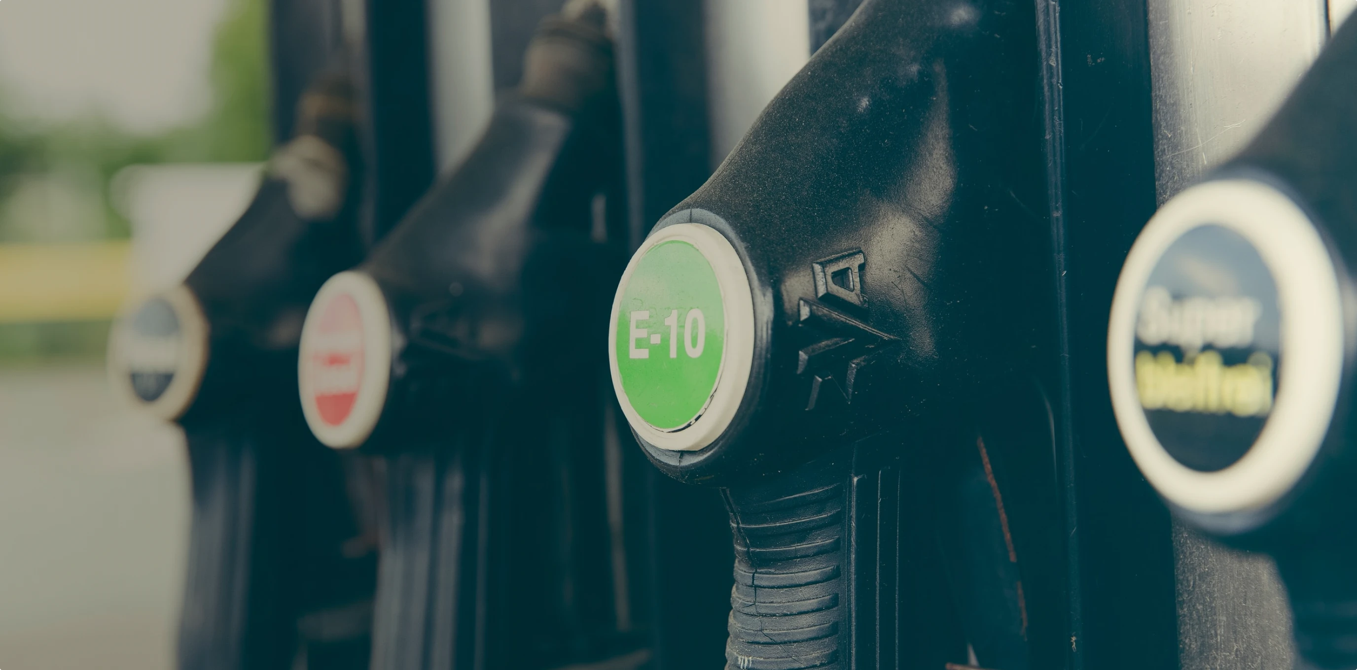
For surface transportation, the dataset is based on a survey of fueling stations, the vast majority of which respond to the survey; the California Energy Commission (CEC) corrects for non-response bias by imputing the remaining share of fuel sales. Note that 2014 data was excluded to data abnormalities for several counties in the region; methodology improvements in 2012 affected estimated by +/- 5% according to CEC estimates. For years 2013 and 2014, a linear trendline assumption was used instead between 2012 and 2015 data points. Data from the CEC is limited to retail sales, therefore Vital Signs surface transportation emissions estimates are limited to GHG from retail fuel sales. Retail gasoline sales represent most of the gasoline consumed for surface transportation, but retail diesel sales are just a fraction of all diesel consumed for surface transportation. Greenhouse gas emissions are calculated based on the gallons of gasoline and diesel sales, relying upon standardized Energy Information Administration conversion rates for E10 fuel (gasoline with 10% ethanol) and standard diesel. Per-capita greenhouse gas emissions are calculated simply by dividing emissions attributable to fuel sold in that county by the total number of county residents; there may be a slight bias in the data given that a fraction of fuel sold in a given county may be purchased by non-residents. Future refinements to the Vital Signs methodology for monitoring GHG emissions from all surface transportation will seek to more closely align monitoring data with estimates from the California Air Resources Board's EMFAC model.
For electricity consumption, the dataset is based on electricity consumption data for the nine Bay Area counties; note that this is different than electricity production as the region imports electricity. Because such data is not disaggregated by utility provider, a simple assumption is made that electricity consumed has the greenhouse gas emissions intensity of Pacific Gas & Electric, the primary electricity provider in the Bay Area. For this reason, with the small but growing market share of low- and zero-GHG community choice aggregation (CCA) providers, the greenhouse gas emissions estimate in more recent years may be slightly overestimated. Per-capita greenhouse gas emissions are calculated simply by dividing emissions attributable to fuel sold in that county by the total number of county residents; data is disaggregated between residential and non-residential customers.
For natural gas consumption, the dataset is based on natural gas consumption data for the nine Bay Area counties; note that this is different than natural gas production as the region imports electricity. Certain types of liquefied natural gas shipped into the region or "makegas" produced at oil refineries during their production process may not be fully reflected in this data. Per-capita greenhouse gas emissions are calculated simply by dividing emissions attributable to fuel sold in that county by the total number of county residents; data is disaggregated between residential and non-residential customers.
California Energy Commission: Retail Fuel Outlet Annual Reporting (2010-2012, 2015)
Energy Information Administration: CO2 Conversion Data (2015)
California Energy Commission: Electricity Consumption by County (2003-2015)
Pacific Gas & Electric Company: Greenhouse Gas Emission Factors (2003-2015)
California Energy Commission: Natural Gas Consumption by County (1990-2015)
Pacific Gas & Electric Company: Climate Footprint Calculator (2015)
California Department of Finance: Population and Housing Estimates (1990-2015)