were driven on Bay Area roads each day on average in 2024
was the average daily mileage per capita in 2024
were driven on Bay Area roads each day on average in 2019, the highest year on record
Introduction
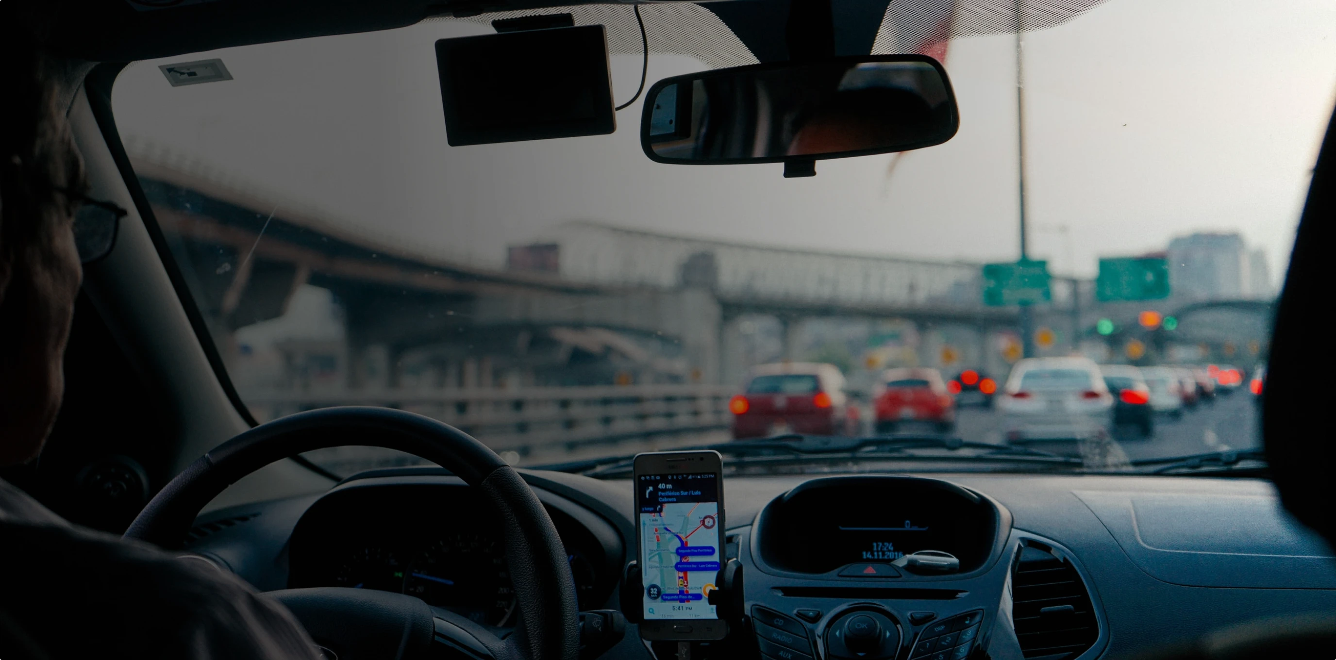
How far do Bay Area residents drive each day?
Monitoring the total number of miles driven and comparing that to the Bay Area’s population gives a good sense of driving trends in the region. While vehicle miles traveled (VMT) grew rapidly over the 20th century, more recent data indicate relative stabilization in the region. However, the COVID-19 pandemic and the corresponding shift to remote work are shifting these previously stable trends.
Regional Performance
Daily miles traveled have largely followed the economic cycle, with more miles driven during economic booms than during recessions.
The estimated number of daily miles driven in the Bay Area declined during the Great Recession. During the economic expansion of the 2010s, the total daily miles traveled increased, but on a per capita basis, daily miles traveled remained relatively stable.
During the COVID-19 pandemic, daily miles traveled dropped considerably as Bay Area drivers stayed home from offices, restaurants and stores. Daily miles per capita dropped sharply as well. While all Bay Area counties have seen VMT bounce back somewhat since 2020, daily miles traveled are still 17% below their 2019 peak, potentially indicating a longer-term change in regional travel.
During the COVID-19 pandemic, daily miles traveled in the Bay Area dropped by 21% between the years 2019 and 2020
As of 2024, daily miles traveled in the Bay Area are still 16% below their 2019 peak
Historical Trend for Daily Miles Traveled
Sources & Methodology
Daily Miles Traveled is reported from the Caltrans publication “California Public Road Data,” which contains statistical information derived from the Highway Performance Monitoring System (HPMS). HPMS is a national highway information system that includes data on the extent, condition, performance, use and operating characteristics of the Nation's highways. The mileage figures originate from the annual maintained mileage reports submitted by the agencies to Caltrans. Daily miles are estimated by dividing annual mileage by 365. Mileage includes all functional classifications (freeways, expressways, arterials, collectors, local) and does not include any adjustments for vehicle type or occupancy.
California Department of Transportation:
Highway Performance Monitoring System (HPMS) Public Road Data (PRD) (Table 6)
2001-2024