of San Francisco Bay were restored between 2019 and 2024
86% of all Bay restoration activity since 1969 happened between 2001 and 2018
in total have been restored between 1969 and 2024
Introduction
Is the region protecting San Francisco Bay from encroaching development?
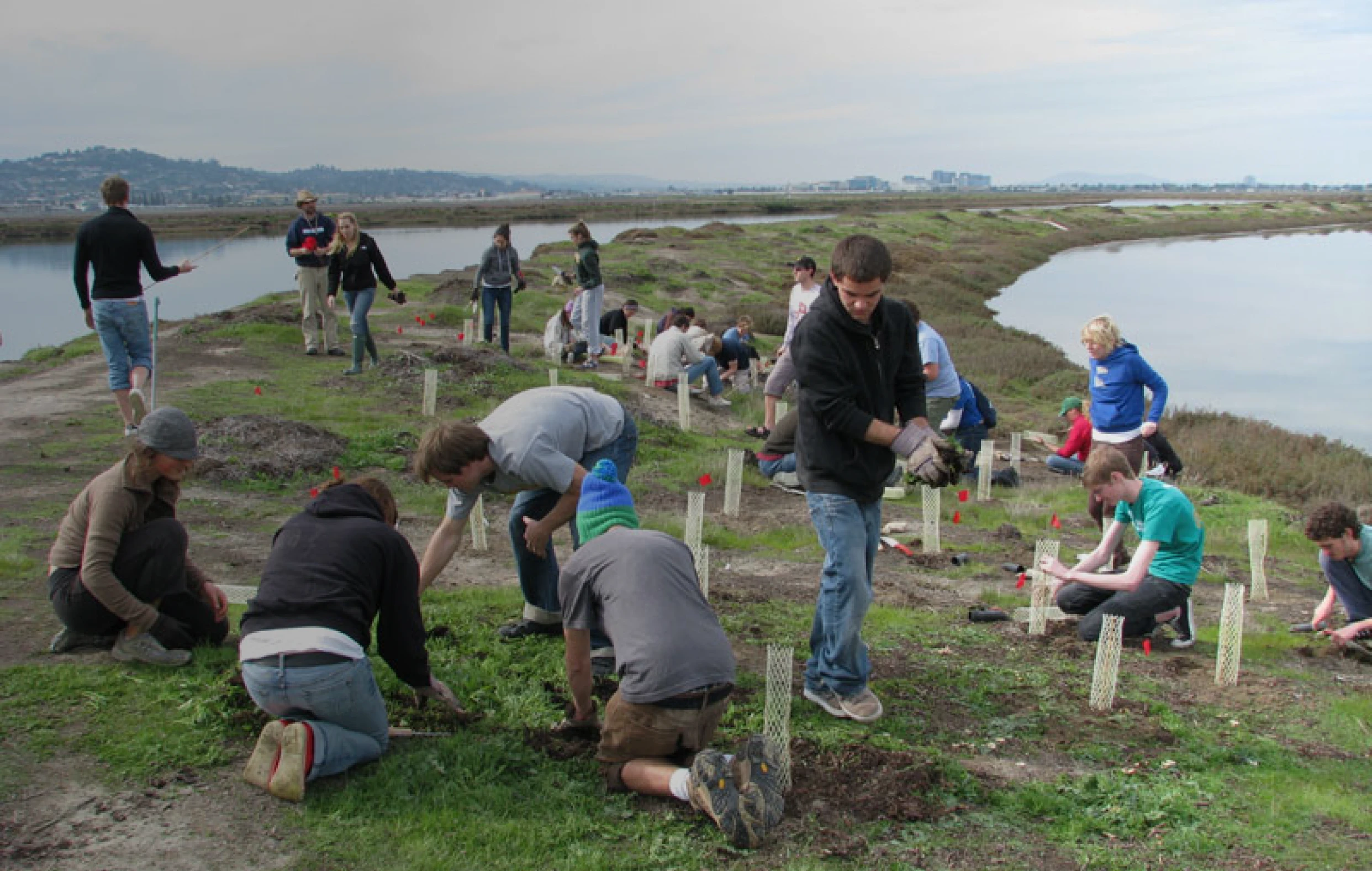
The San Francisco Bay is the region's most prominent geographic feature and defines the region as the Bay Area. Yet just a half-century ago, rapid growth patterns threatened its very existence as new developments like Foster City, Bay Farm Island and San Francisco International Airport relied on bay fill to create land close to the region's center. While policies enacted in the 1960s and 1970s slowed this trend, preservation of the iconic Bay remains a key policy priority as conservation activities continue to restore the Bay and improve environmental conditions.
Regional Performance
Rehabilitation of shoreline areas accelerated at the fastest rate between 2000 and 2018.
From 1969 to 2024, San Francisco Bay expanded by nearly 24,000 acres due to policies limiting bay fill and major wetland restoration efforts. Over 90% of this growth has occurred since 2000, marking a major ecological turnaround after a century of decline. Restoration activity has varied over time, peaking in 2001 with 5,649 acres restored; the most active recent year was 2018.
Key contributions came from projects in Sonoma, Marin, and Solano counties, including Lower Sonoma Creek, Novato Creek, Skaggs Island, and Haire Ranch. From 2020 to 2024, most restoration shifted to Contra Costa and Solano counties through the Lower Walnut Creek and Bradmoor/Arnold projects. Looking ahead, new funding approved in 2025 will support projects like the Huichica Creek Riparian and Salt Marsh Restoration in Napa County, continuing progress in improving the Bay’s ecosystem.
In 2024, a total of 394 acres were restored in the San Francisco Bay
were added to San Francisco Bay in 2001, the most of any year on record
Historical Trend for San Francisco Bay Acreage
Sources & Methodology
Bay Restoration reflects either the Bay's expansion from restoration projects (such as wetland restorations) or contraction from projects that fill the Bay to create new land for development.
According to BCDC’s history page, "For purposes of clarity, it should be noted that the estuary known as San Francisco Bay – which comprises BCDC’s Bay jurisdiction – actually is comprised of eight separate bays: Suisun Bay; San Pablo Bay; Honker Bay; Richardson Bay; San Rafael Bay; San Leandro Bay; Grizzly Bay; and, finally, San Francisco Bay itself."
BCDC defines the change in Bay acreage as "ocean area of the Bay created or restored, including salt ponds converted into tidal action, less the area of the Bay authorized to be filled pursuant to major permits and major consistency determinations through 1987." This definition includes any administrative amendments to the data.